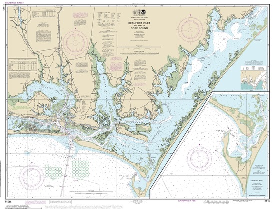
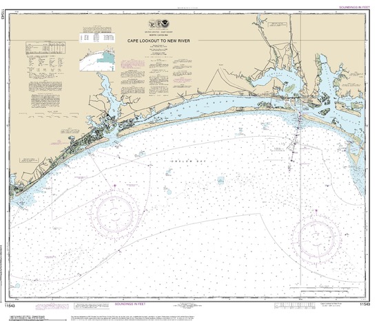
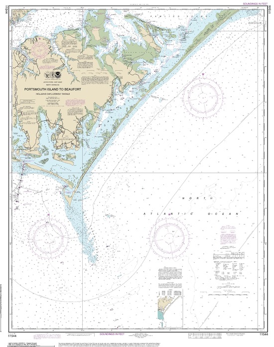
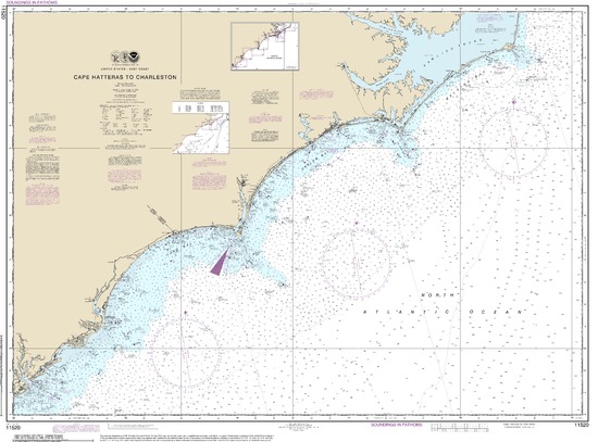
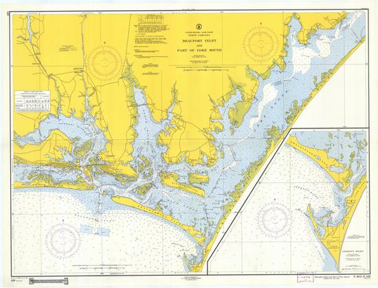
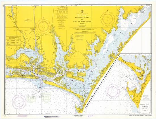
The following are nautical charts for the Harkers Island area are provided online via NOAA:
- Beaufort Inlet and Part of Core Sound; Lookout Bight
- Cape Lookout to New River
- Portsmouth Island to Beaufort, Including Cape Lookout Shoals
- Cape Hatteras to Charleston
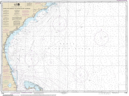
- Cape Hatteras to Straits of Florida
Some additional, interesting, historical nautical charts from NOAA:
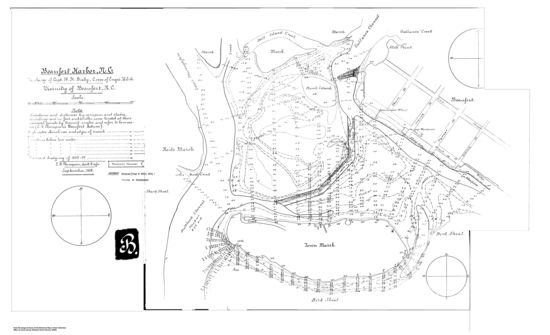
- Beaufort Harbor, 1888
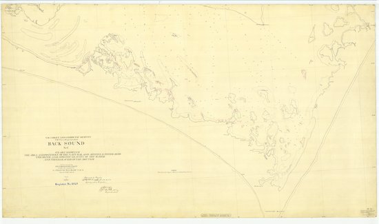
- Back Sound, 1886
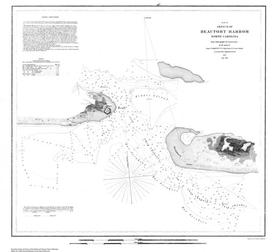
- Navigation Chart of Beaufort Harbor, NC, 1850
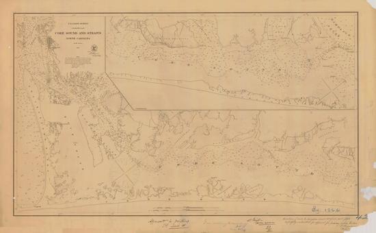
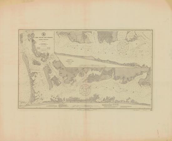
- US Coast Survey, Core Sound and Straits, 1866
- Navigation Chart of Core Sound and Straits, 1876
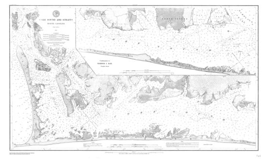
- Core Sound and Straits, 1883
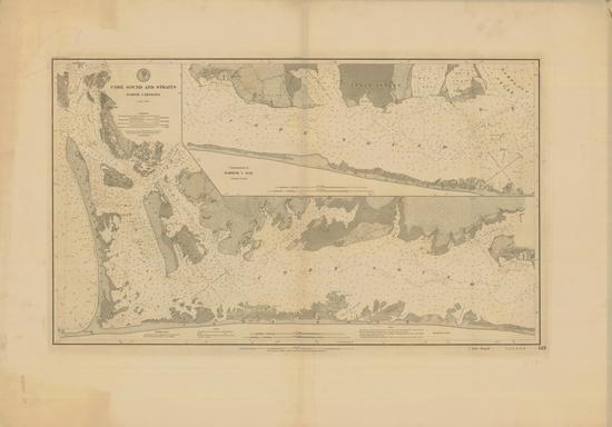
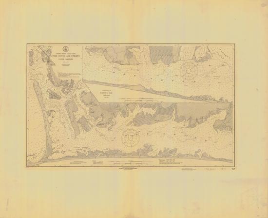
- Core Sound and Straits, 1889
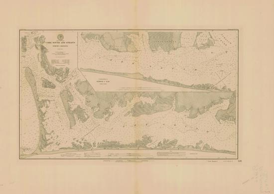
- Core Sound and Straits, 1910
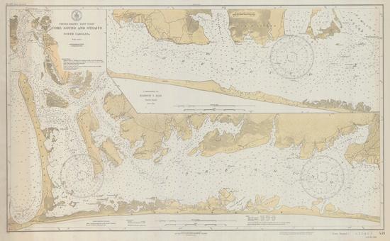
- Core Sound and Straits, 1915
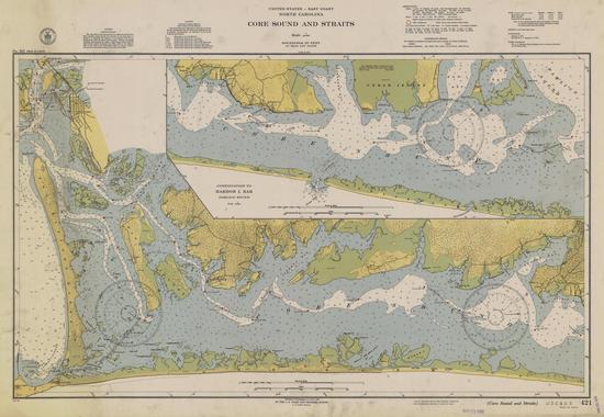
- Core Sound and Straits, 1931
- Core Sound and Straits, 1940
- Beaufort Inlet and Part of Core Sound, 1959
- Beaufort Inlet and Part of Core Sound, 1970
No warranties expressed or implied. Many of these files are quite large. Be patient.
Romans 8:25 – But if we hope for that we see not, [then] do we with patience wait for [it].
-King James Bible (albeit a bit out of context)

